Sawel Mountain is the highest peak in the Sperrin mountain range. Sawel Mountain summit sits at an elevation of 665m and shared the county highest point with two counties, Tyrone and Derry. We drove down the Speerin road until we met a metal gate and metal animal crossing. We STUPIDLY parked in front of the gate and basically blocked any farmers from opening the gate to allow sheep past.

We should have parked where the black car parked
After our lovely night Glamping in Carrowmena, we were feeling refreshed and ready to climb another mountain. Approaching the Sperrin mountains it was becoming evident that hiking conditions on a mountain of this size were not great. We parked our car up at the base of the mountain on the Sperrin road and assessed the situation. We always vowed to think logically and not do any hiking if there was ever any sign of danger.
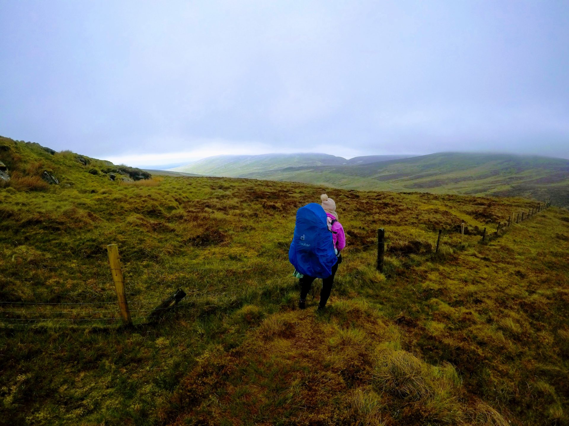
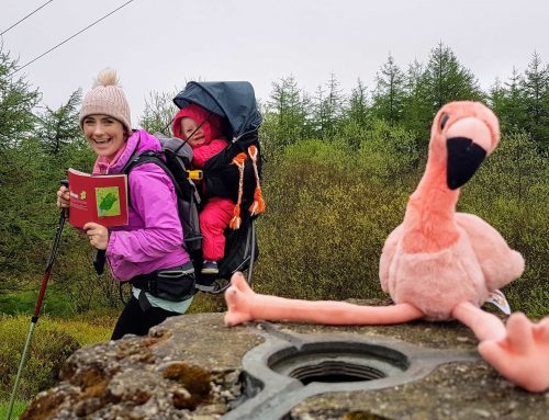
When looking out at the mountain we could not see any further than 200m. We decided to put on our hiking gear and wrap Ourlittlehiker up really well in her backpack and to go for a small walk to test the conditions. The day was not cold but mainly foggy, we consulted our maps and guidebook and knew that we were going to be following a fence the whole way to the summit of Sawel. So we decided to start hiking and if the weather starts to deteriorate we would return back to the car.
Parking at Sawel Mountain
There is a parking spot about 50 meters away from the start of the Sawel mountain hike. The parking spot looks like it could accommodate, maybe 3 cars. Don’t be a fool like us and hamper the farmers that are good enough to allow us to walk on their land, use the proper carpark area.
Hiking to the top of Sawel Mountain- Tyrone and Derry highest point.
When we drove down the Sperrin mountain road we got slightly disorientated and taught we were driving the opposite direction. This meant that we started hiking the mountain on the wrong side of the road. Thankfully we were keeping a very keen eye on the map and we only walked about 25 meters before we realised that we were on the wrong side of the mountain. We quickly returned back to the right side and started on the correct mountain this time. Thankfully, that is the very first time we got lost on this challenge.

Wrong Mountain Gina!!!
The initial start of this mountain crossed a flat marshy area before we started climbing the higher sections. This area is slightly boggy but we aren’t hiking in it for too long, so it won’t have much of a bearing on us. We felt that the fog was lifting slightly, as we were increasing our elevation height pretty quickly and we could still see our car perfectly, so we decided to continue hiking to the summit of Sawel mountain.
The main fence that we started following basically runs the whole way to the summit of Sawel Mountain. We had to cross a couple of fence stiles but they were easy enough to navigate even with a baby on our back.

After climbing to the top of the first steep section, the mountainside seems to nearly level out and the ground conditions seemed to get very boggy again. We even had to try to cross a wide stream, well about 1.2 meters wide, this didn’t go to plan but it was fun watching Gina run up and down the bank trying to get encouragement to jump over to the other side.

I don’t think she is going to make it…
We must have just missed a running race, as there were still signs hanging off the side of some of the fences (at least we know were on the right mountain this time).

Just as we were climbing the final section of Sawel mountain the fog got very heavy but we were sticking close to the fence for guidance. It is safe to say we would never have attempted this hike without the fence to guide us to the summit. Just as we reached the highest point of the fence it veers left, we knew that Sawel high point was in front of us but the fog was too dense to see it. We took out our Viewranger app on our phones and we could see exactly where we were and where the county high point was, so we walked in the right direction and found the Cairn in seconds.
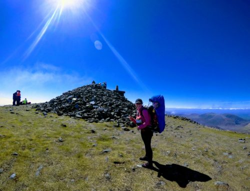
Unfortunately, all our pictures are pretty poor from Sawel Mountain high point because when we reached the cairn the wind had also picked up and we only wanted to spend a couple of seconds on the top, as the weather conditions were against us. We took our photos and descended quickly to get shelter from the wind. Thankfully the wind was blowing from the opposite side and the mountain and it blocked us instantly when we descended a couple of meters.
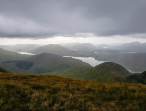
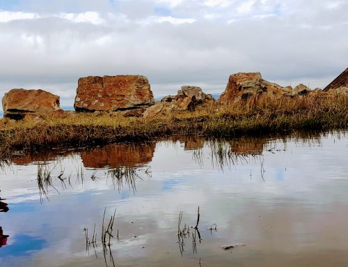
As luck would have it, the fog started to lift on our descent and we eventually got some of the views of Sawel mountains and the Sperrin mountains and the valley below, they looked amazing, we were disappointed that we missed these amazing views on the way to the top.

Gina’s final jump of the day
Our thoughts on Sawel Mountain hike — Tyrone and Derry highest point
This was our first experience of hiking in fog with our daughter and we felt perfectly safe throughout the whole hike. This was a good tester for the fog as we had the fence as our guide to the summit of Sawel mountain.
Unfortunately, due to the heavy fog, we only got a very small glimpse of the views from Sawel mountain but it did look amazing from what we could see. We hope to return back to this county high point again in the future to get a proper feel for the hike up Sawel mountain.
Sawel Mountain Hiking Time
It took us 1 hour and 20 minutes to climb to the top of Sawel mountain and back down to our car.
Sperrin Mountain Information
For Additional information look here

